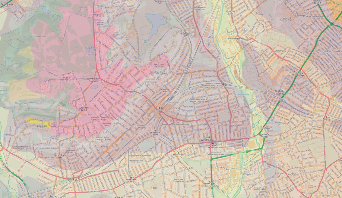
Published by the British Geological Survey (BGS), December 2024
Calling all industry professionals!
Has anyone in the industry had the chance to see/use/benefit from the above data which has just been published by the British Geological Survey? It sounds very useful indeed if it brings together not only the geological maps we are all used to, but in addition, information on building types and trees in particular in the case of classical clay subsidence.
The GBS promotional material lists the following considerations below. These are similar to those used in our own risk assessments that we use for our pre purchase Structural Engineers Reports but obviously brings together huge amounts of data which we cannot match individually:
- Geology including clay thicknesses/depths
- Building type and number of storeys
- Building age
- Drainage
- Tree proximity (the key one for clay soils)
All of the above apparently produces a combined hazard score.
Insurance companies and conveyancing professionals are likely to find the information invaluable. However, we engineers and surveyors will be quick to point out that there’s no substitute for a property-specific survey. Such surveys consider all factors, including internal alterations and condition, which even advanced tools like Google Maps and AI haven’t fully matched yet.
Any thoughts and experiences from fellow professionals would be most welcome once the data is in use.
If anyone would like to share knowledge on this subject please e mail Simon.pole@Ser-l.co.uk or comment on the SERL Linkedin page


